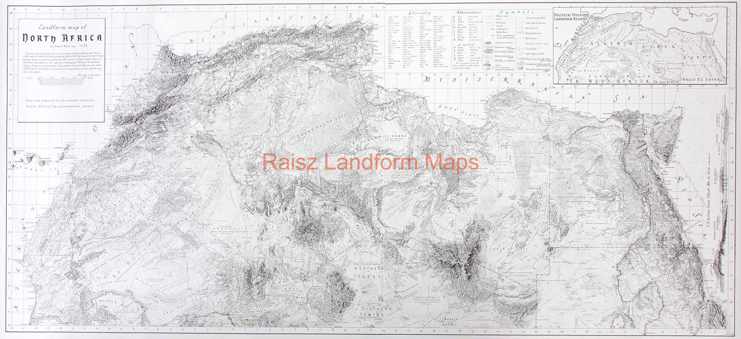
Description
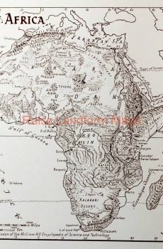
PANORAMA LAYOUT. INSETS OF POLITICAL DIVISIONS AND LANDFORM REGIONS. INCLUDING SYMBOLS ABBREVIATIONS & GLOSSARY
Panoramic map including Morocco, Tunisia, Algeria and Egypt, Libya, Canary Islands, British Sudan, French Equatorial Africa, southern edge at Latitude 16 degrees north, 1967. Sidebar includes political divisons, glossary, abbreviations and physiographic symbols. S-N section on right side.
Size: 22 x 48 inches
Ink color: black